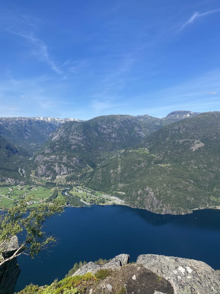
Location: Suldal
Time: 4 hours
Distance: 7 km
Elevation: 707 meters
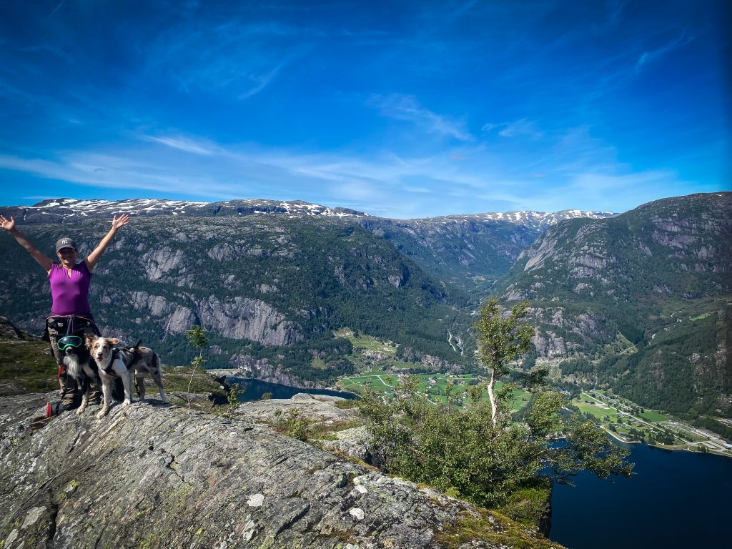
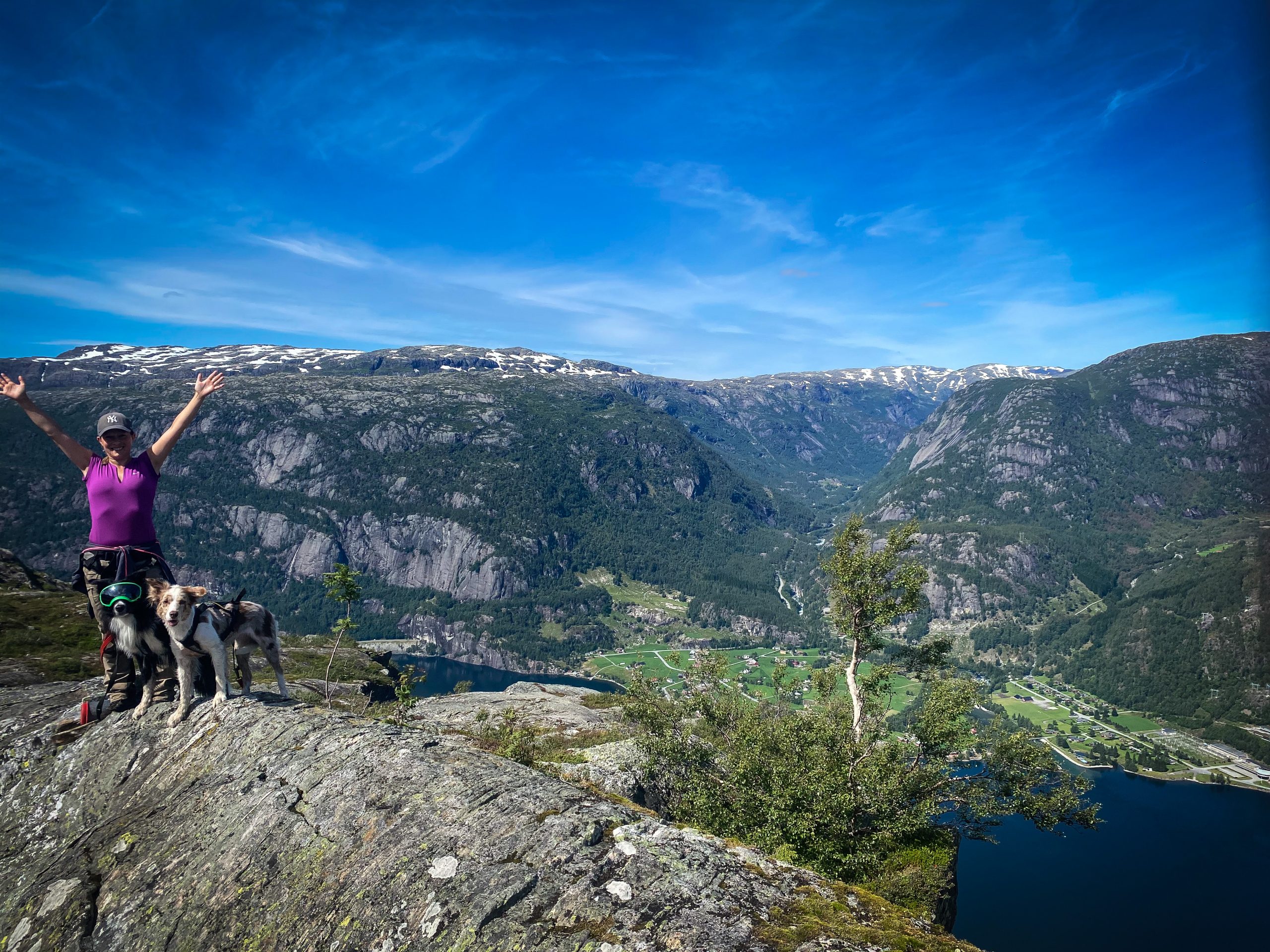
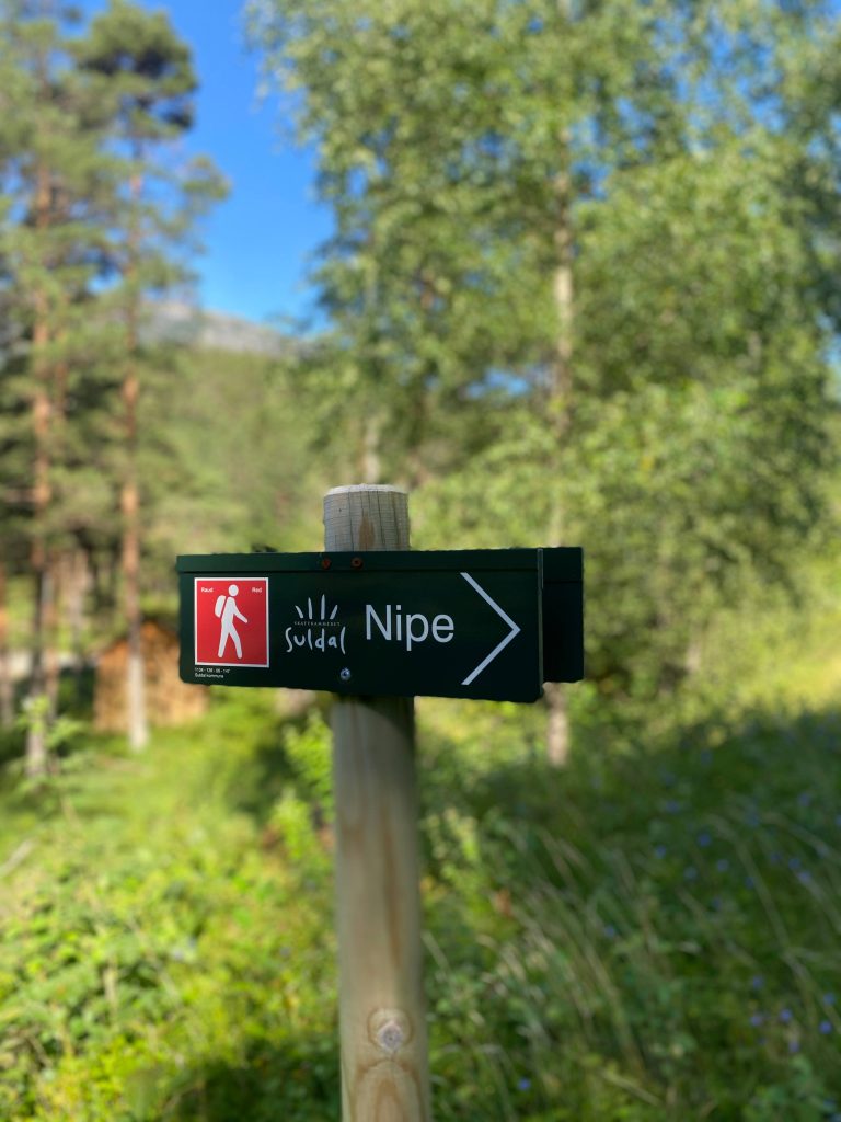
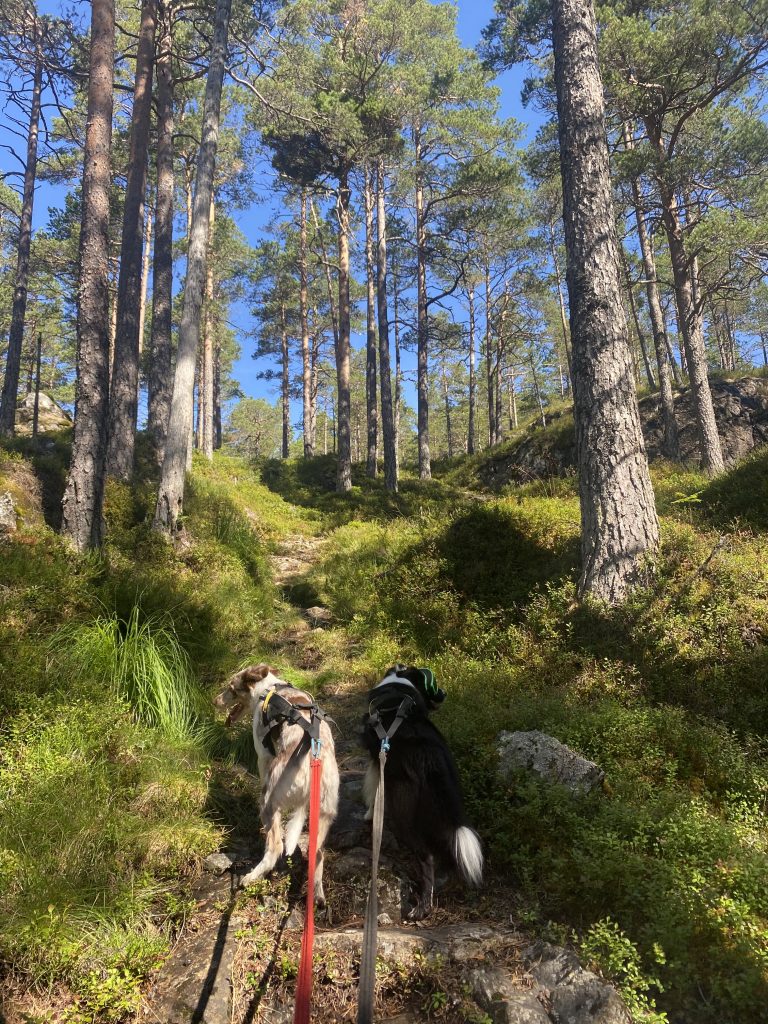
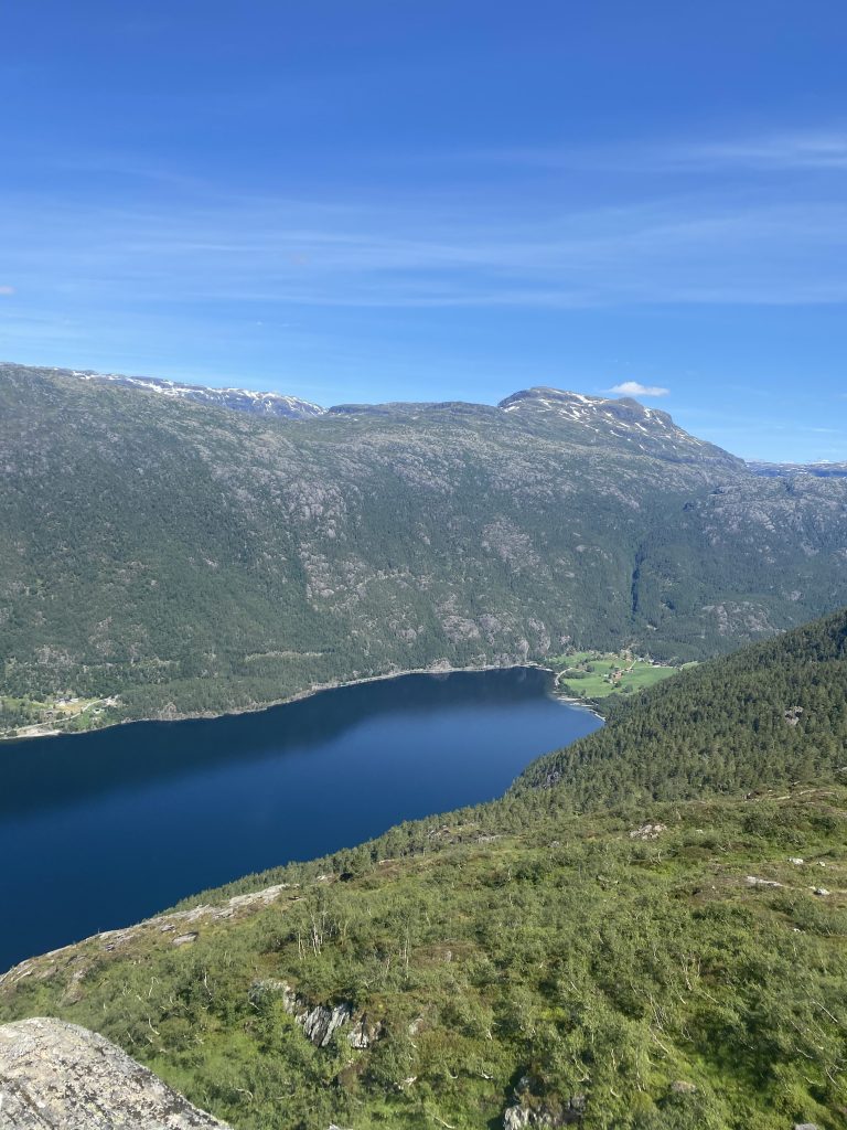
Nipe is located in Suldal muncipality and has an amazing view over Nesflaten and Suldalsvatnet. Park at the shooting range (GPS 59°37’42.2″N 6°48’00.7″E) and look for the sign by the road. The hike starts on the other side of the road and continues straight up. Most of the hike is in steep terrain.
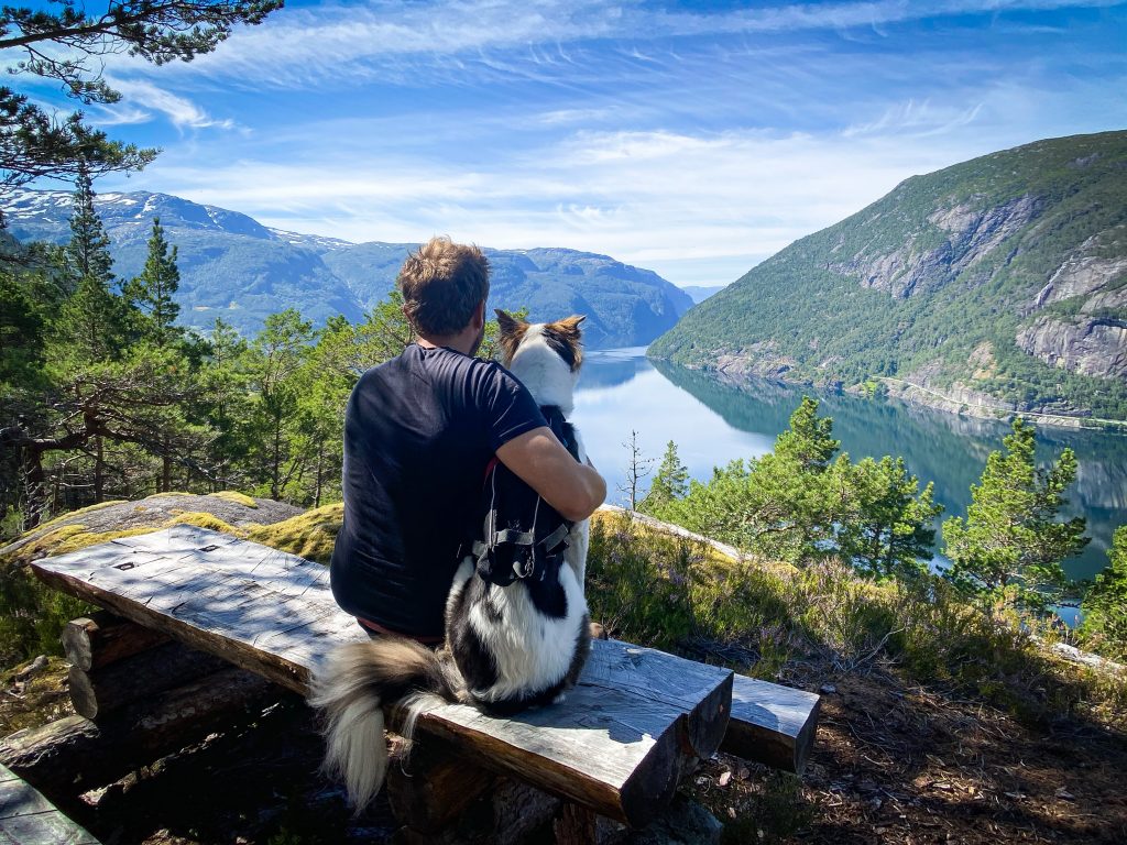
After just 20-30 minutes, you will be rewarded with some amazing views and even a bench if you wish to take a break.
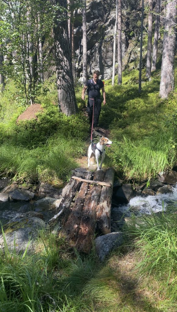
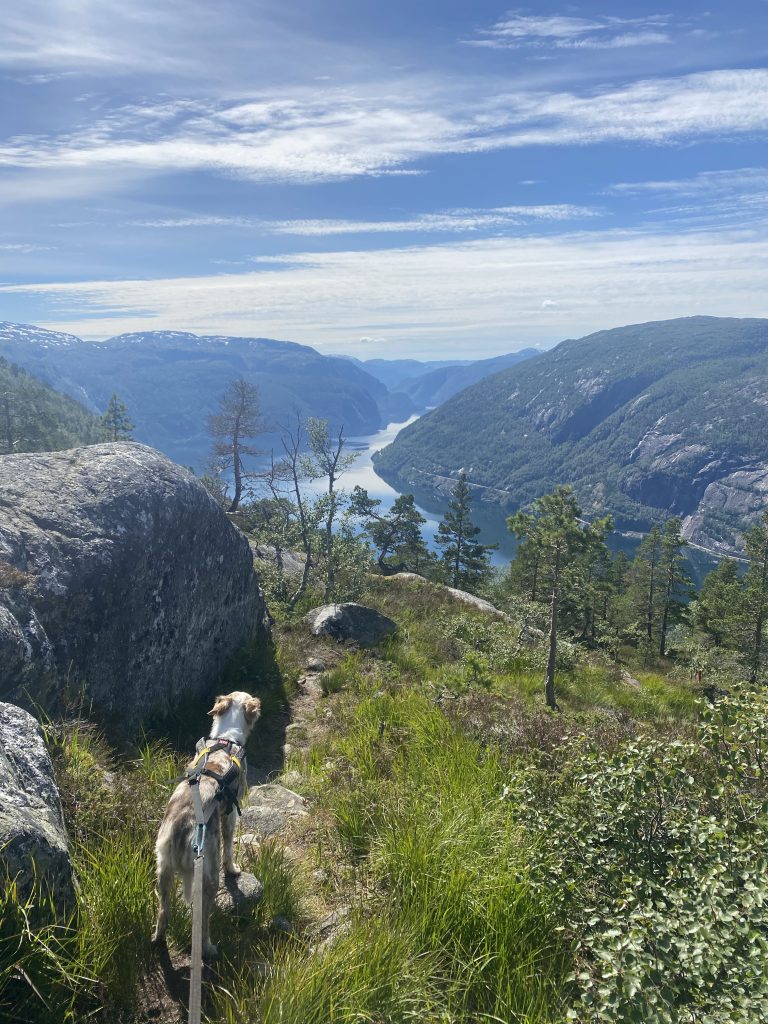
The hike is marked well with red paint and signs when there are multiple trails. During the hike you will cross the stream several times by small bridges. The view behind you is incredibly beautiful.
On the last part of the hike, the trail flattens out and continues mostly on rock until reaching the destination, Nipe. For the brave ones you can walk out to the cliff and check out how steep it is or have a cool photo taken. We kept our distance and enjoyed the view from a safe distance.
