Published: 22nd of september 2019
Location: Forsand municipality
Time: 2,5 timer
Distance: 7,5 km
Elevation: 564 m.o.h.
GPS 58.969180, 6.240151
(When standing in the parking lot, you can see straight across to the Pulpit Rock.)
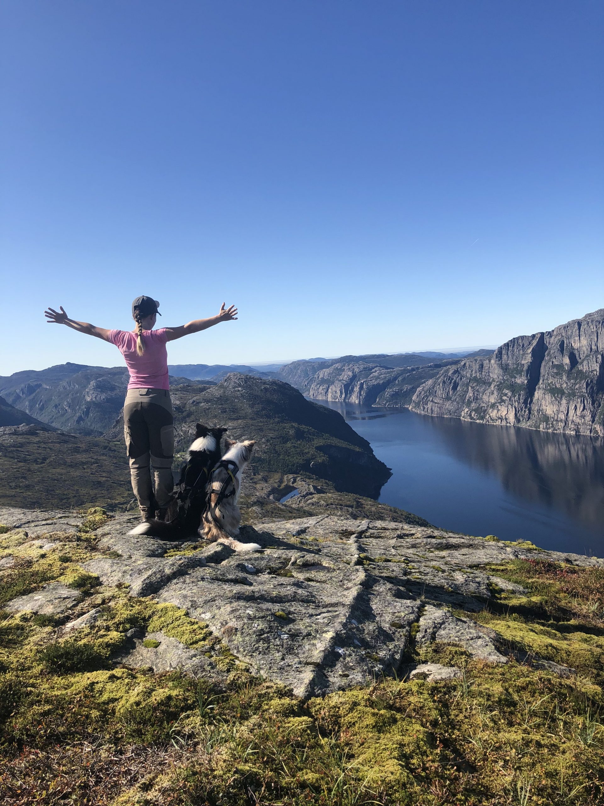
The start of the hike is on a tractor road until you see a mini (water) power station. After a few hundred meters you will see a sign showing the path to the left. The hike is marked well with both signs and marking. The best view is at the highest point further in, with a panorama view of the Lysefjord.