17th of may 2018
Location: Bjerkreim municipality
Time: 2 1/2 hours
Distance: 6.2 km
Height: 544 meters above sea leavel
GPS coordinates for parking: N58 38.189 E6 09.296.
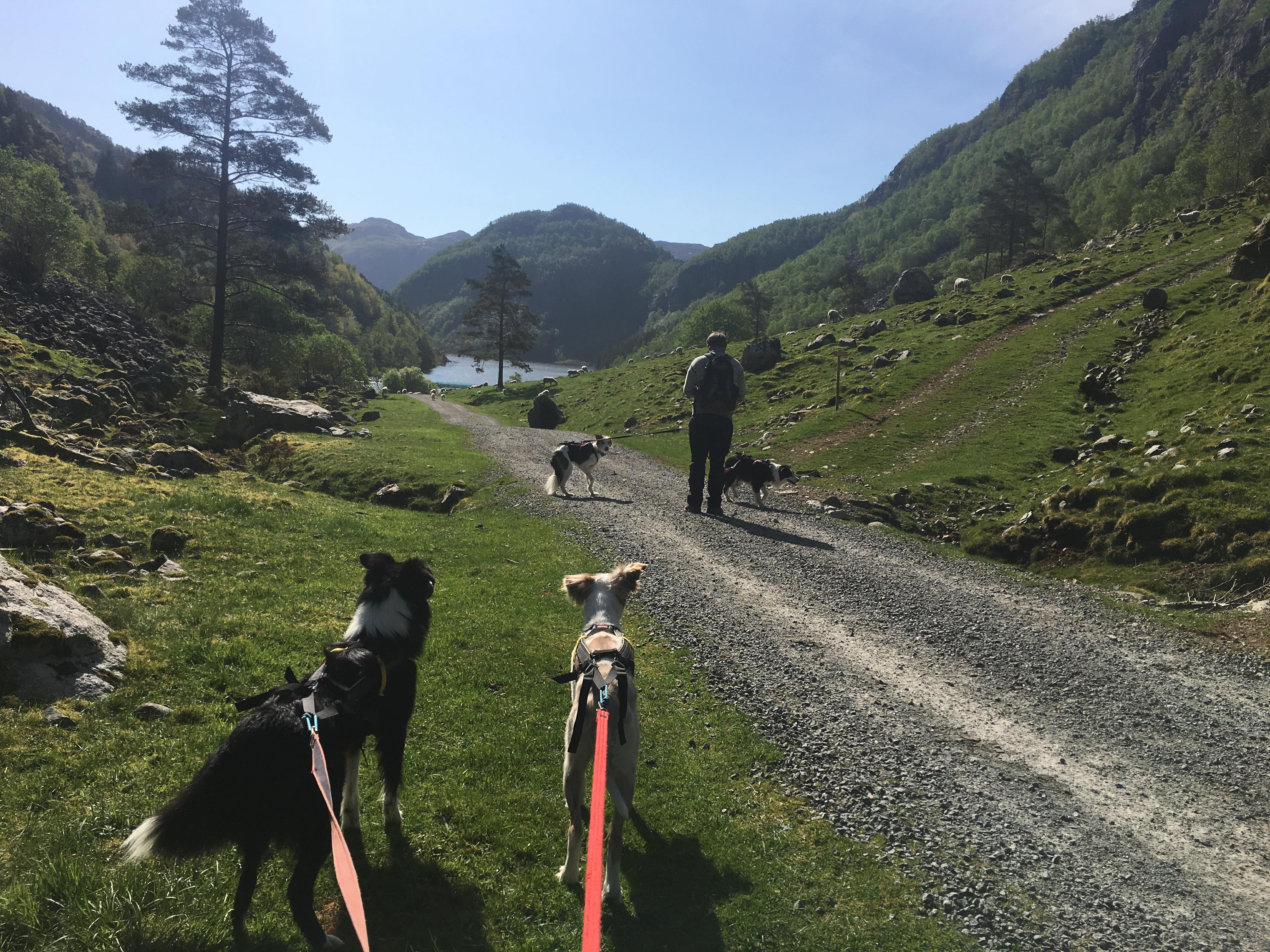
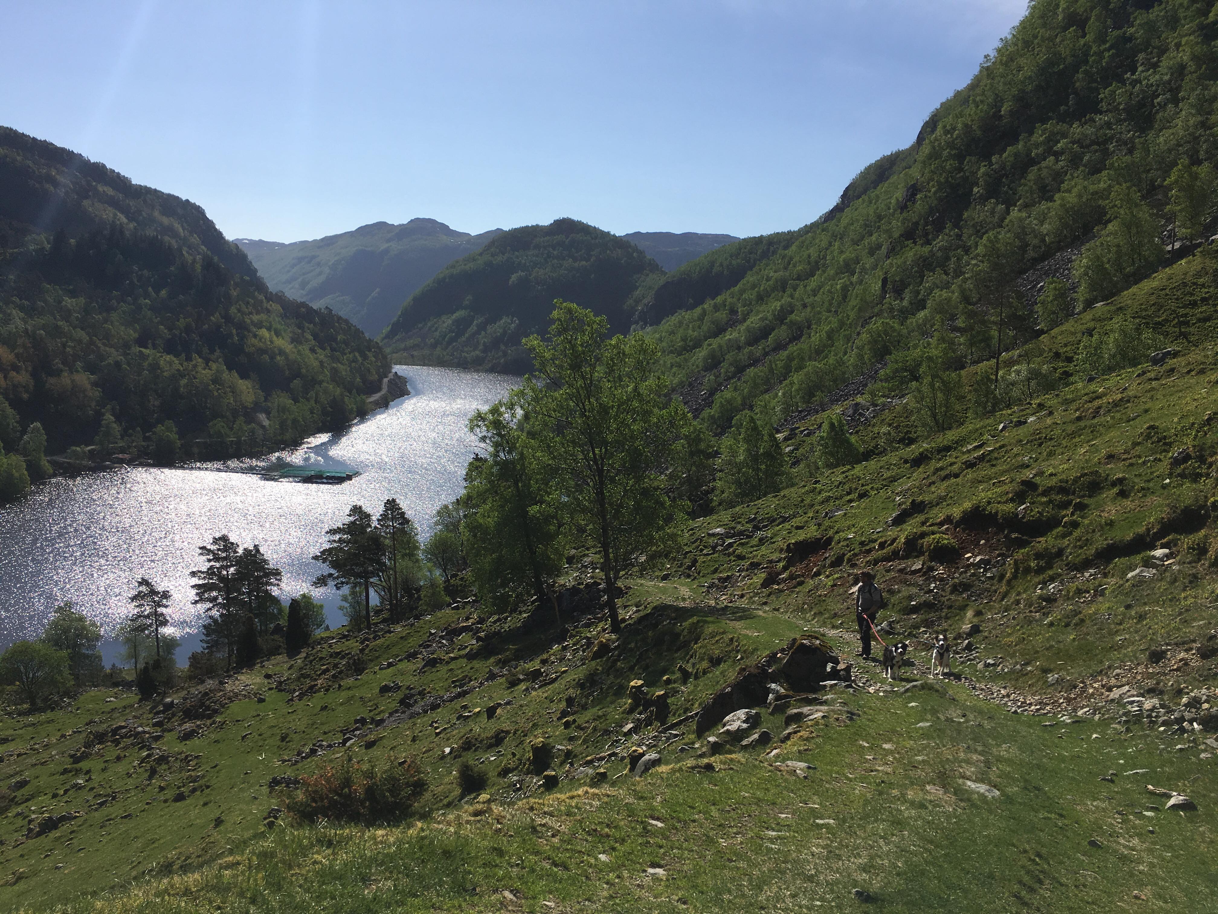
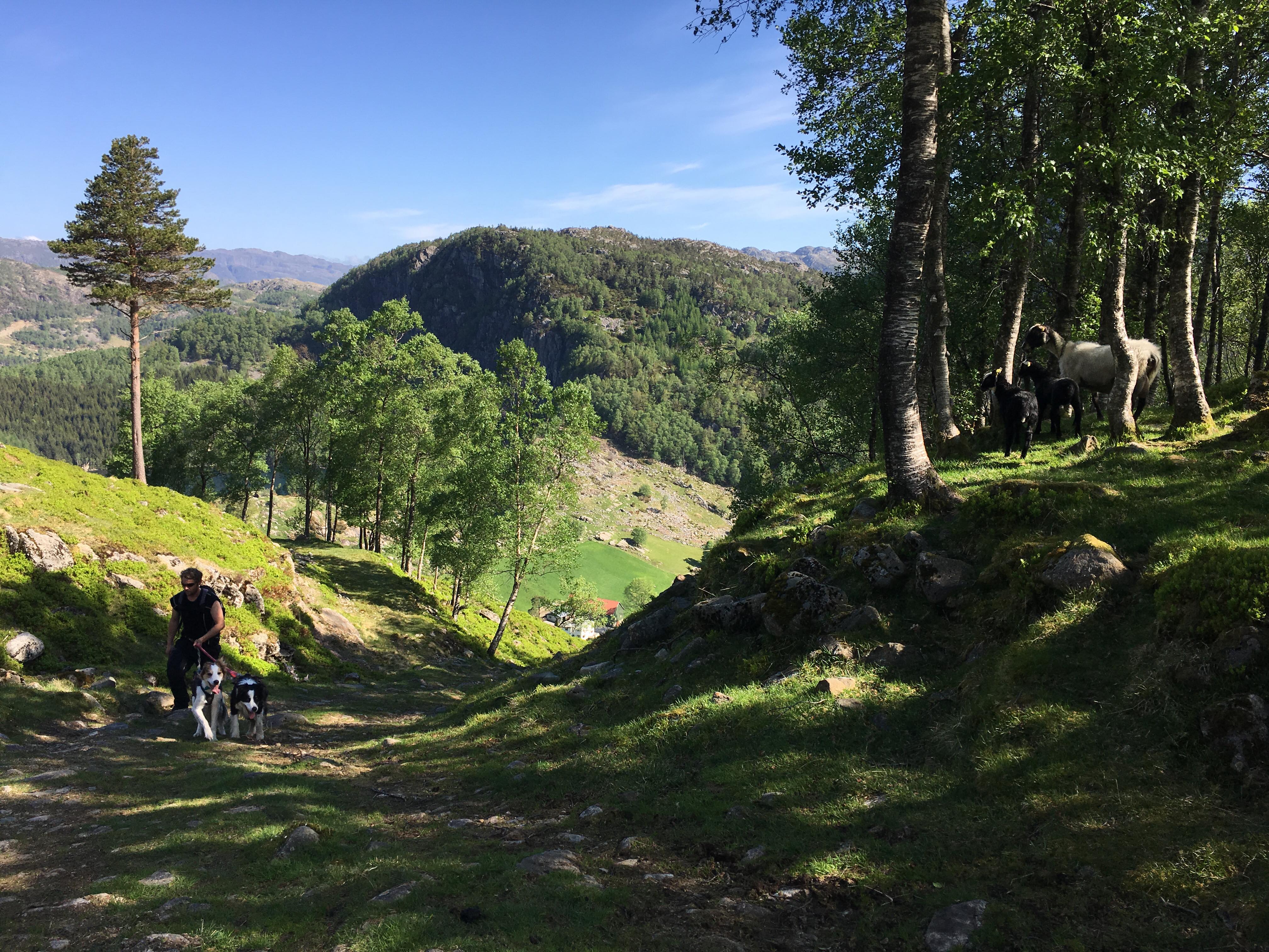
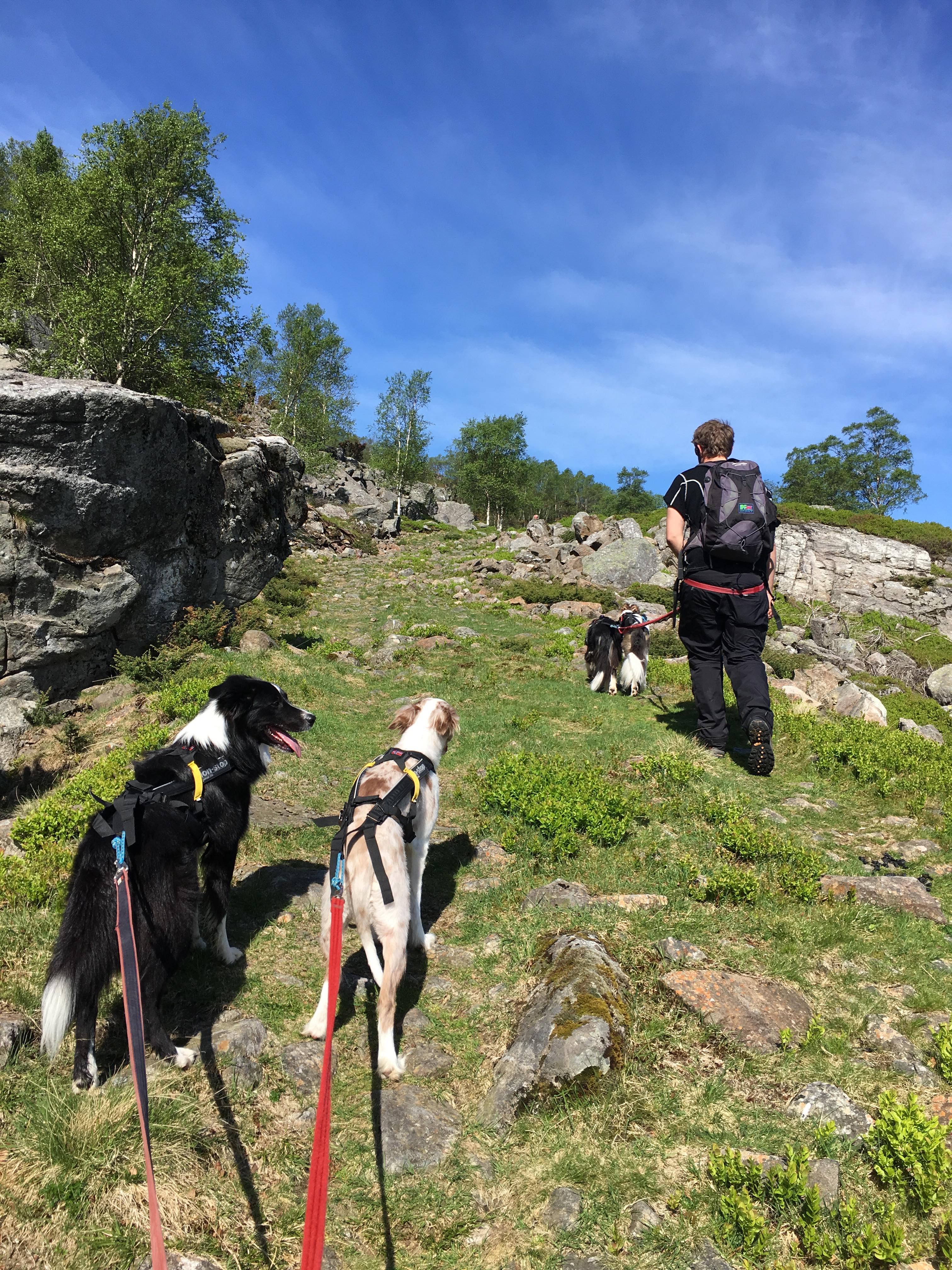
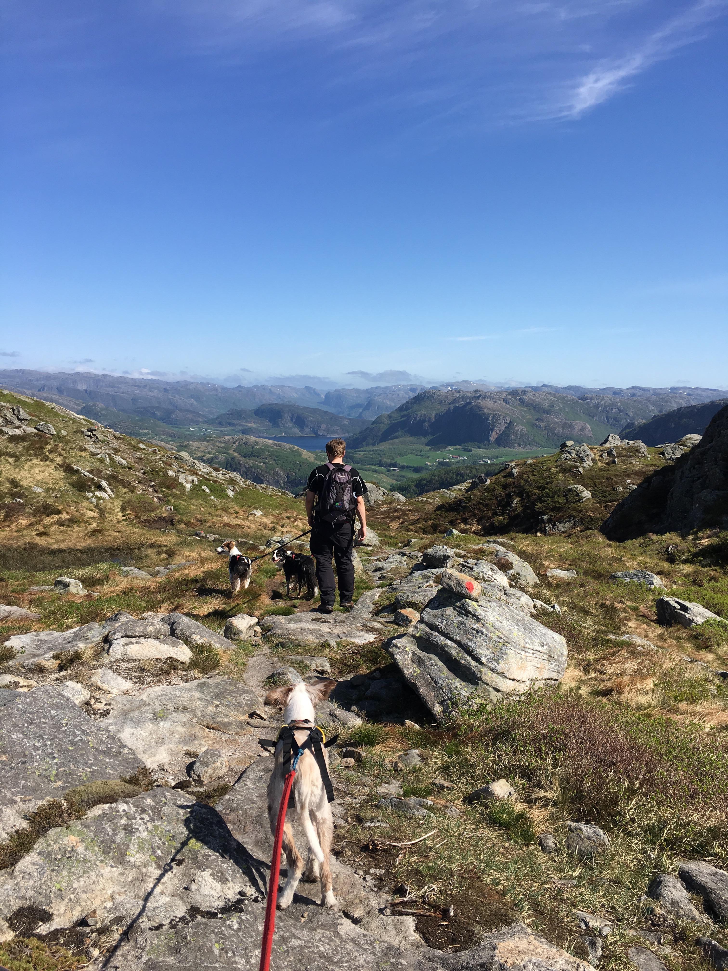
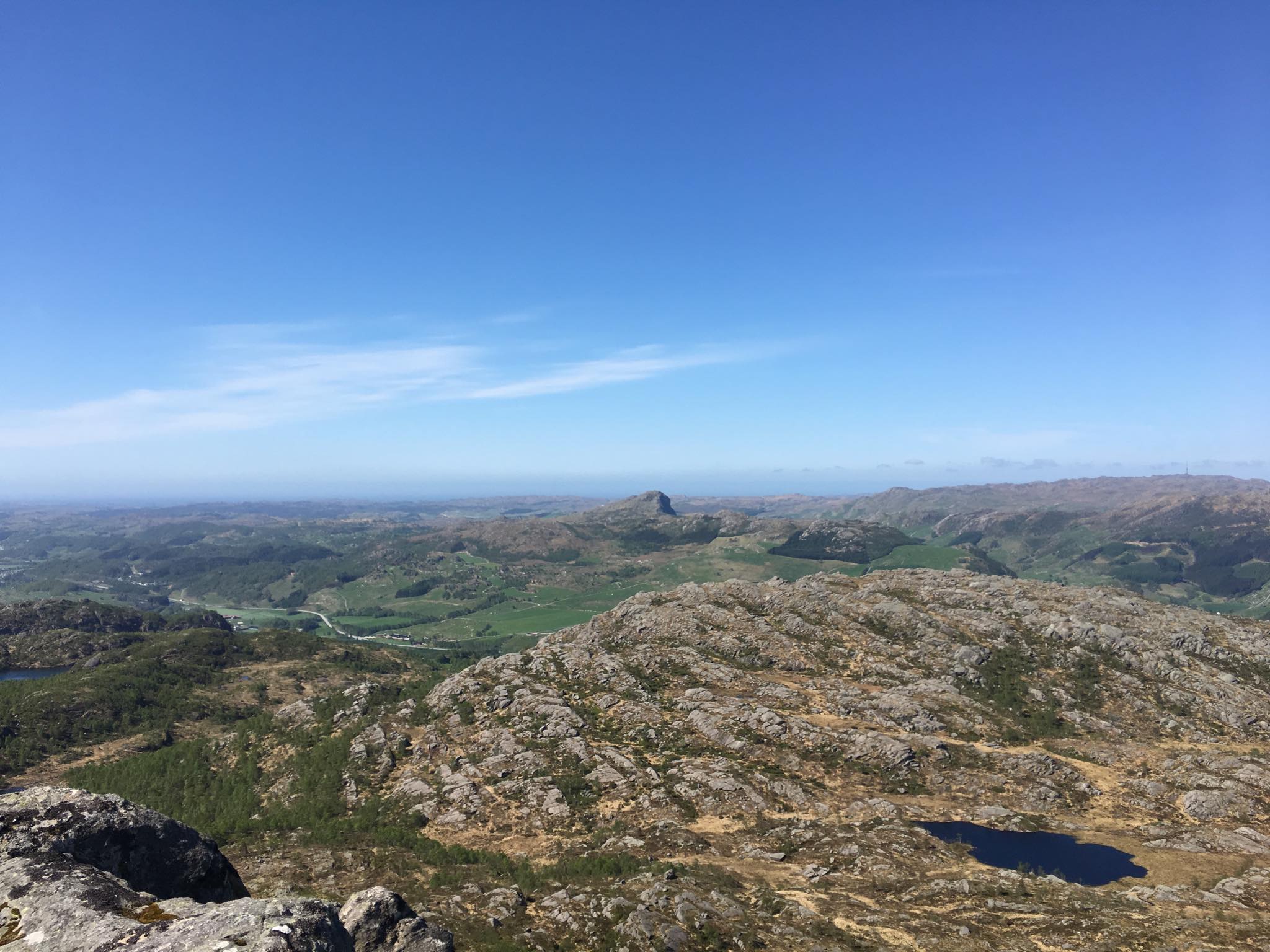
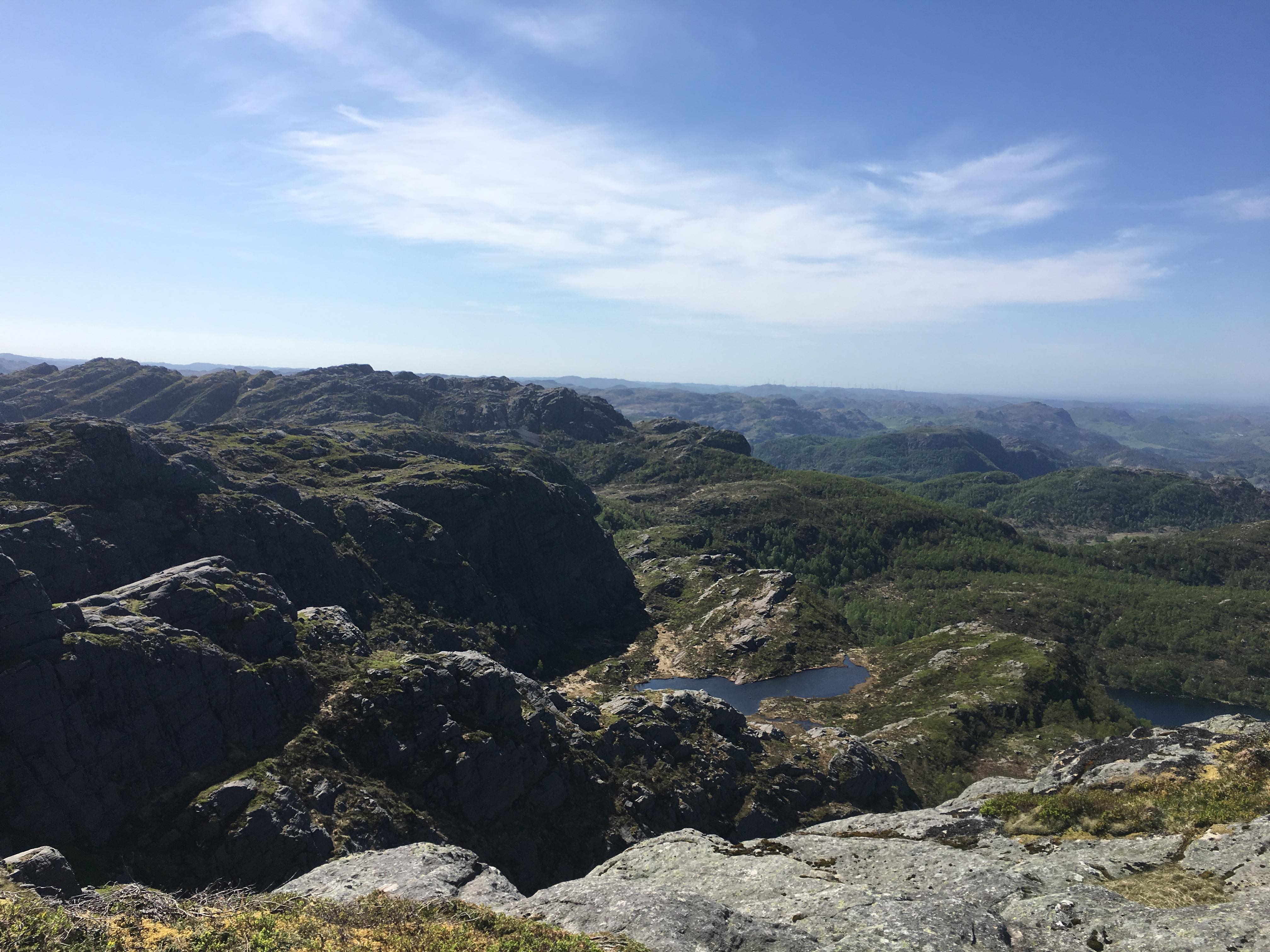
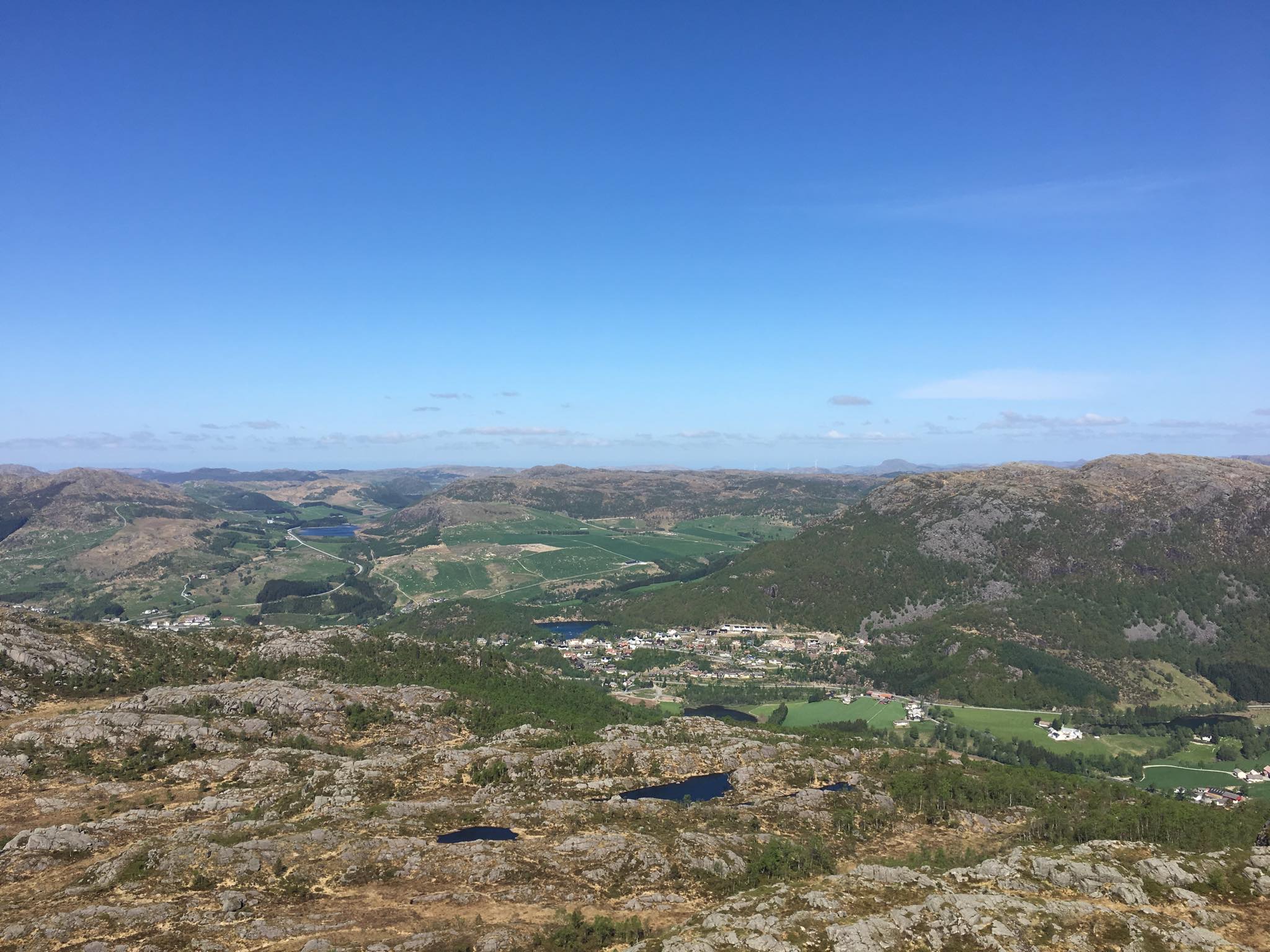
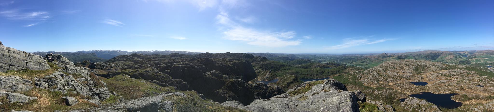
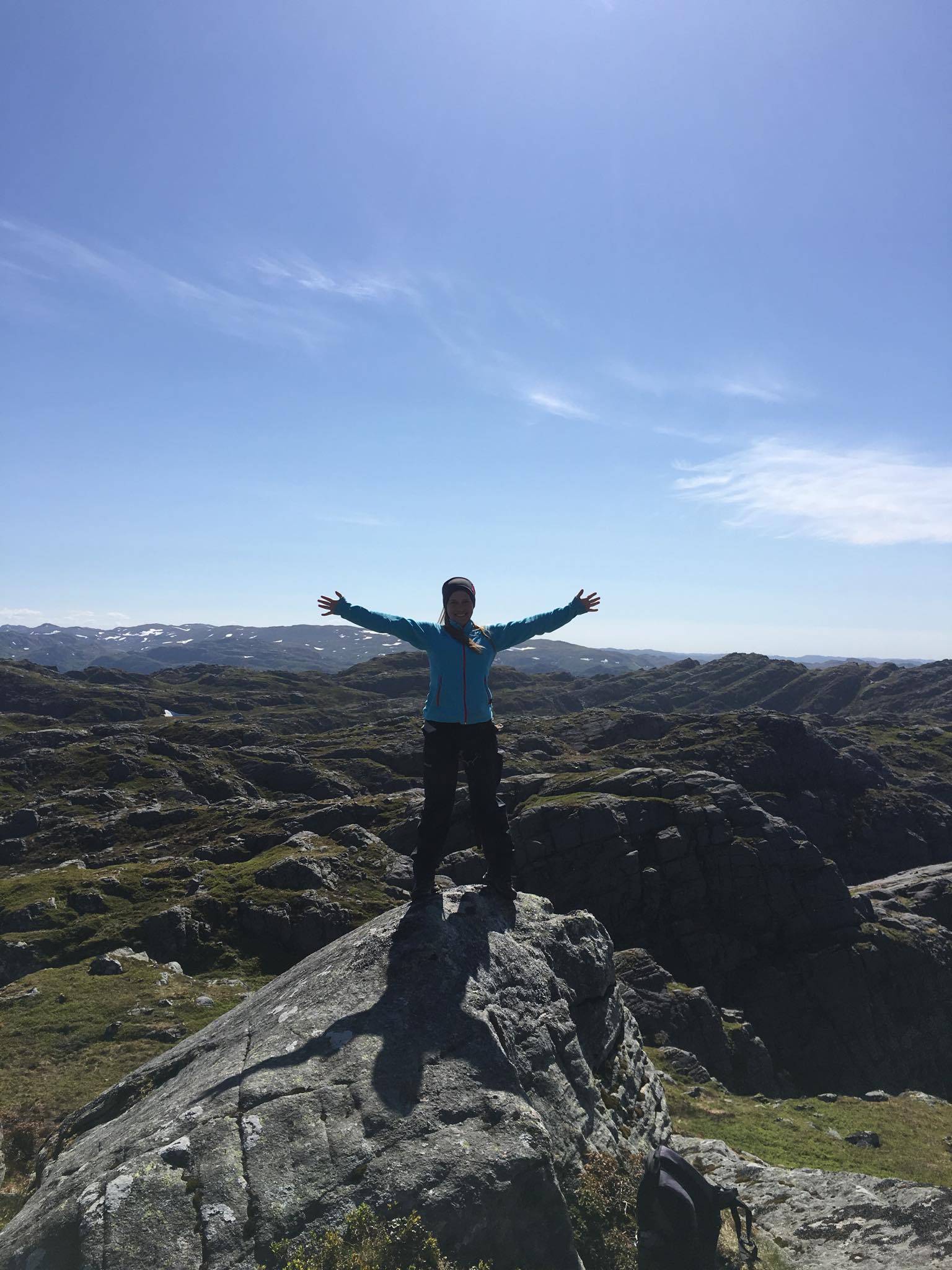
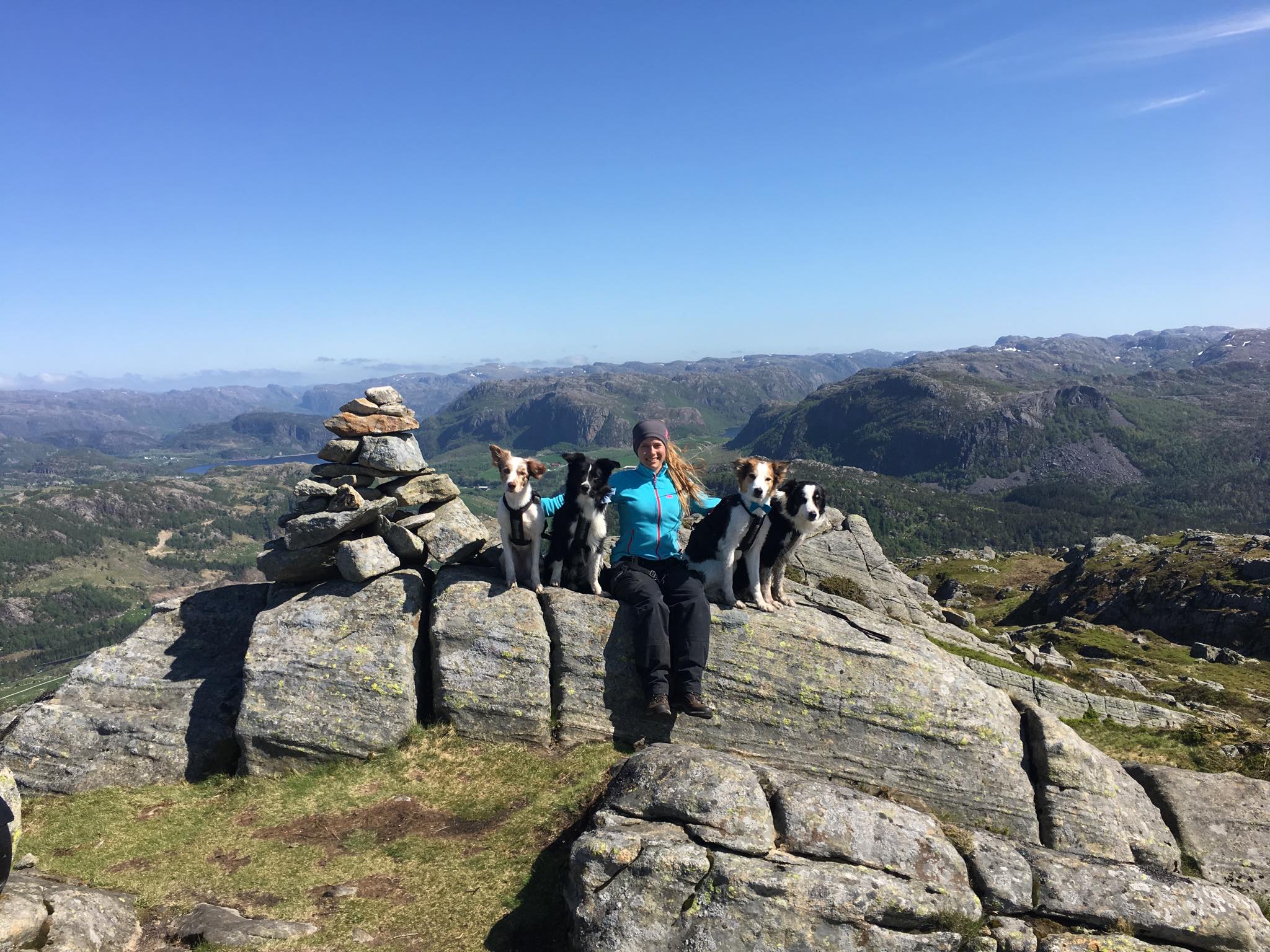
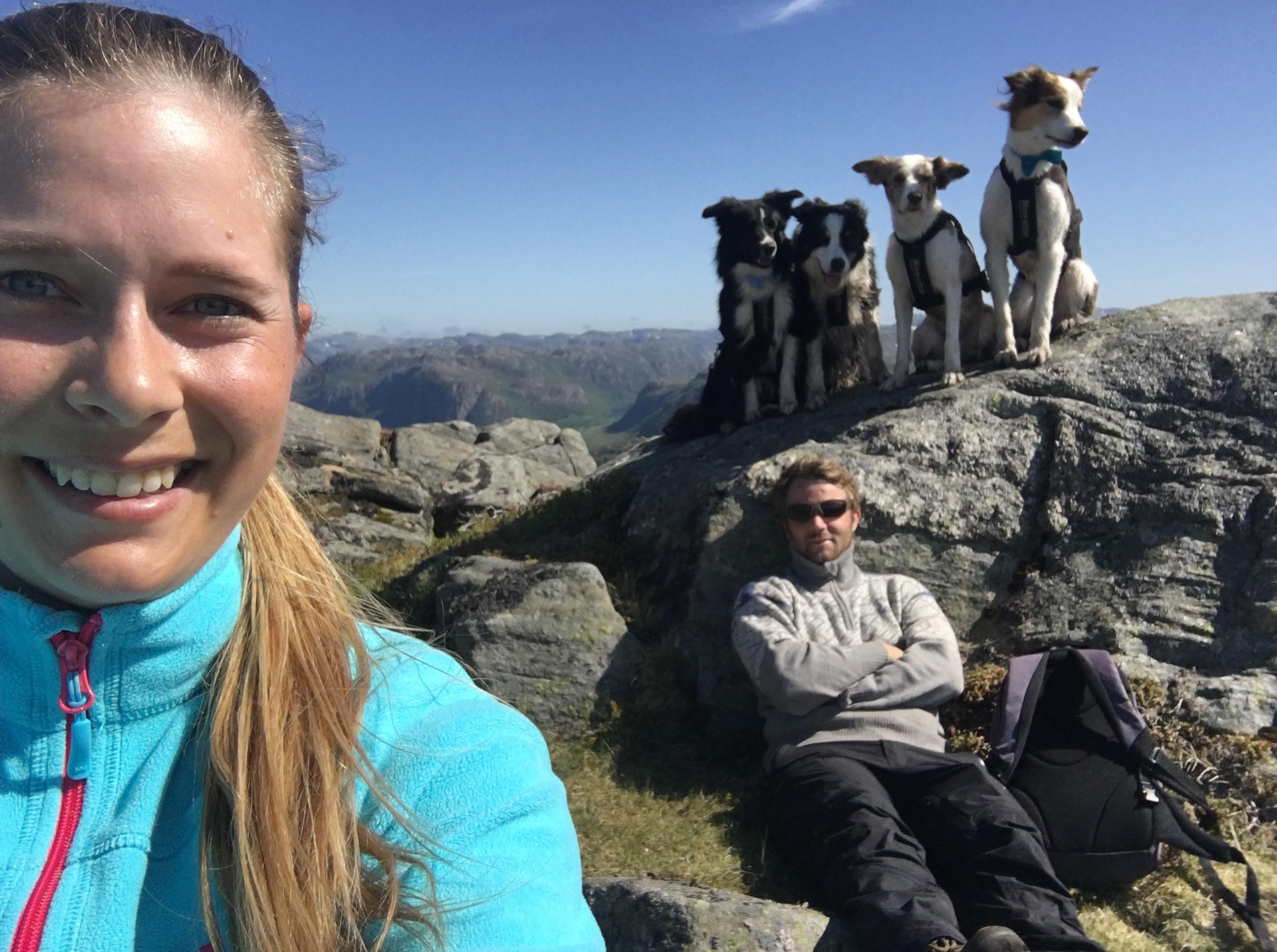
The hike beings on a gravel road to Mjaavatnet until there is a sign to turn right. We follow the road up the mountain, passing a “feedinghouse” for the sheeps. The trail is marked all the way to the top. You will have a marvelous view when you get to the top.