Location: Suldal
Time: 4-5 hours
Distance: 12 km
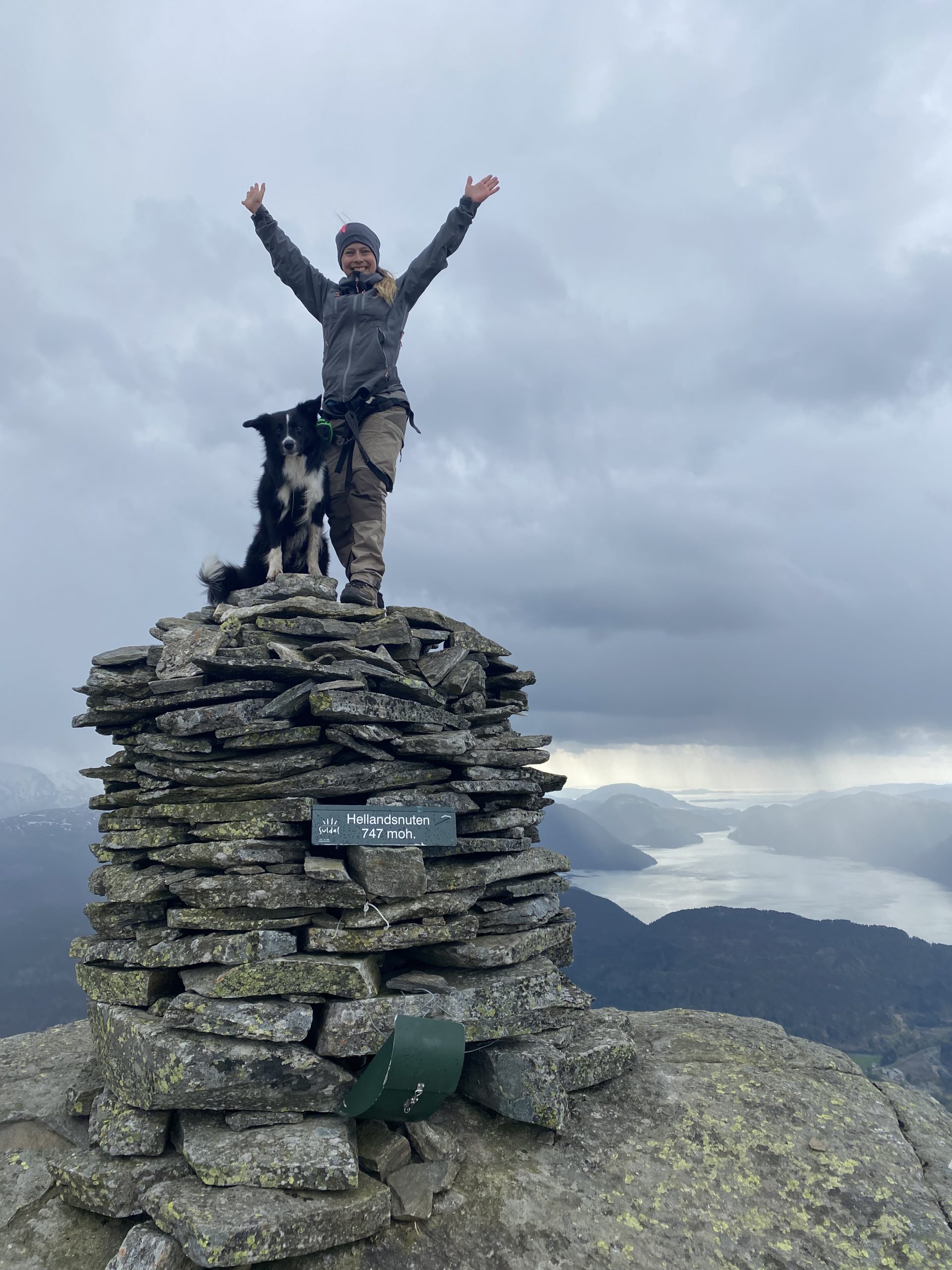
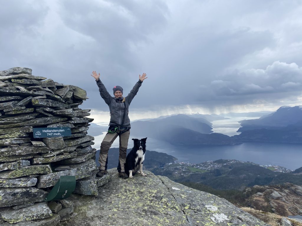
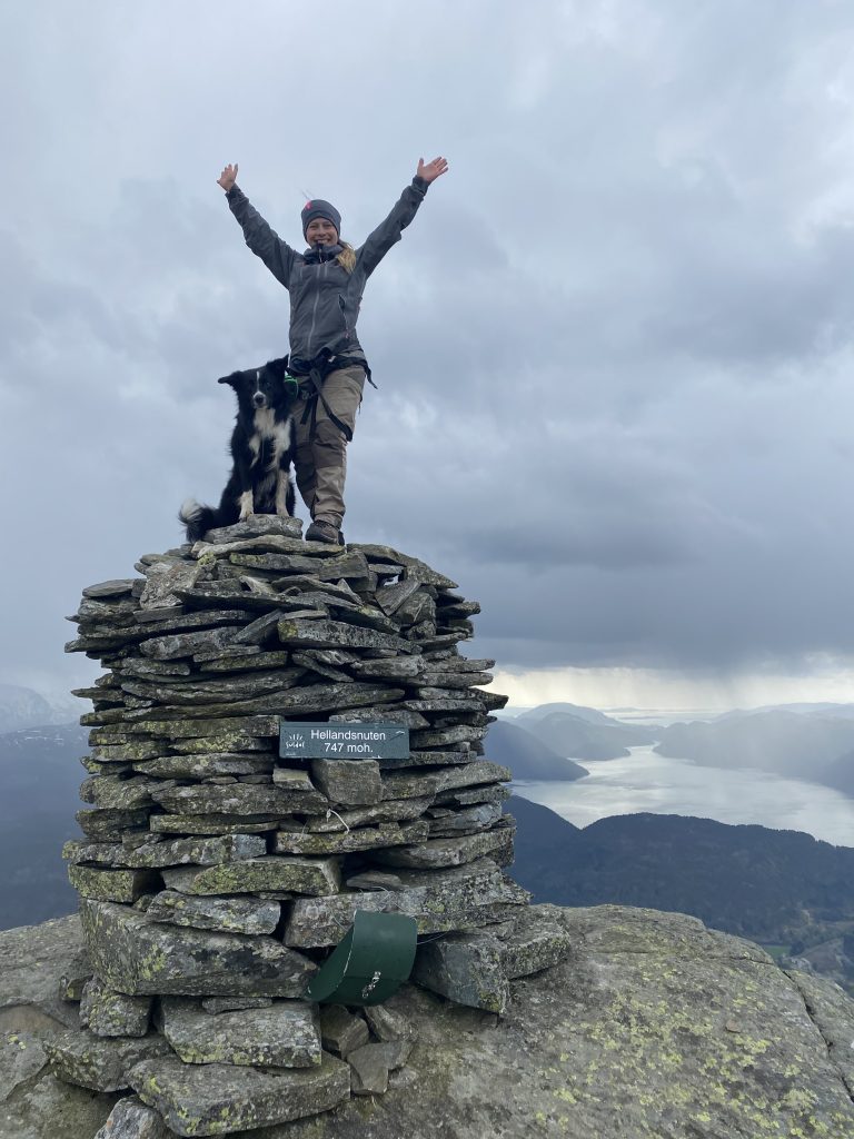
Elevation: 747 meter
The hike starts from Klov (GPS: 423059.488825, 6.277691). We parked near the turnaround and followed the road to the left. After a few hundred meters you will see a collection of trail signs, follow the trail marked “Hellandsnuten”. Each junction is marked with signs, so you will have no problems following the trail.


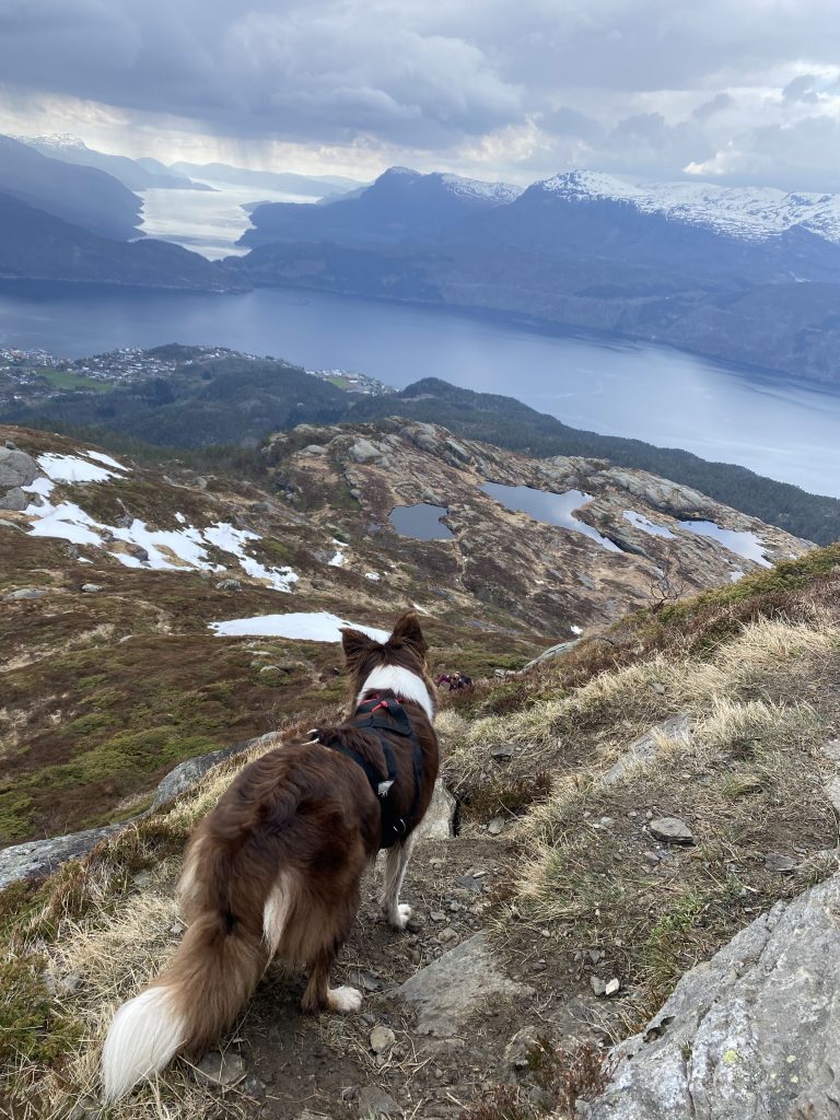
The hike begins at about 50 meters above sea level and the top is at 747 meters so this is a steep hike and the last 50 meters qualify more as climbing than hiking. The view on the top is worthy it – I promise!
When going back down, you can either take the same way you came, or as we did, follow the trail further in the mountains and then down. Follow the marked trail all the way back down.