Location: Hjelmeland
Time: 4 hours
Distance: 13,1 km
Elevation: 700 meter
From the parking lot at Hjelmeland (GPS posisjon N59 15.227 E6 12.337 – parkingfee 100NOK) the hike begins through a farm and on a farmroad with very little elevation. After a while the road narrows into a path and the climb begins.


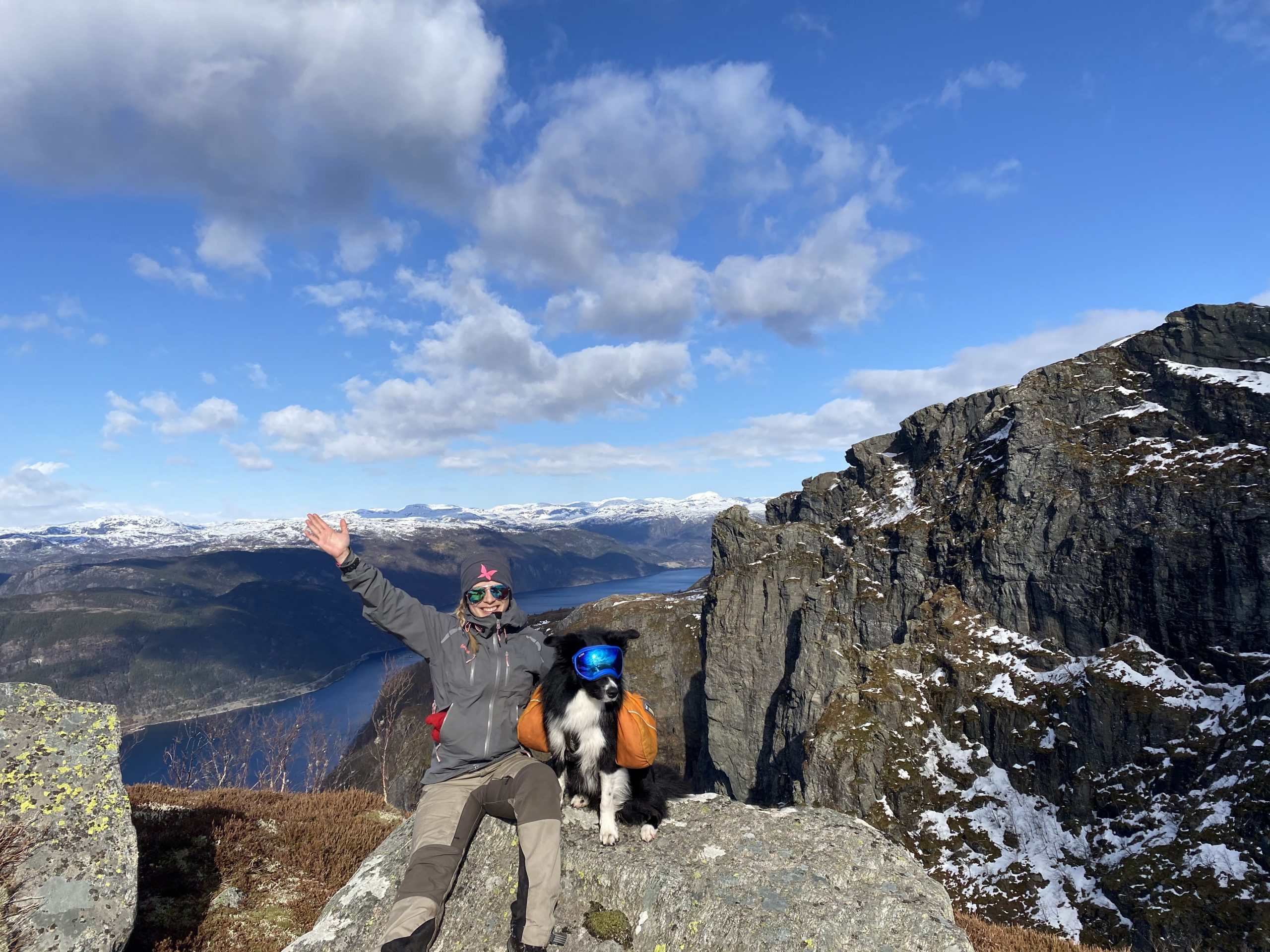
Going up is quite steep and since we did the hike a little (too) early in march, we ran into several patches of ice on the trail. When you are climbing up, you should look behind you when stopping for air.
The first peak you arrive at, is Oksnafjellet. Keep following the marked trail and as the terrain flatens out, there are just a few more climbs before reaching Skomakernibba.


PS!
The view going back down is not that bad.