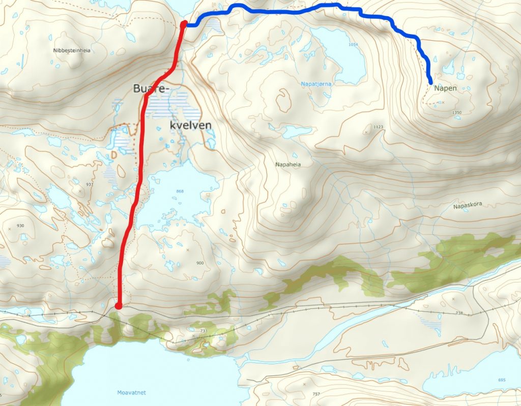
Location: Suldal
Time: 4 hours
Distance: 8,3 km
Elevation: 1350 mas
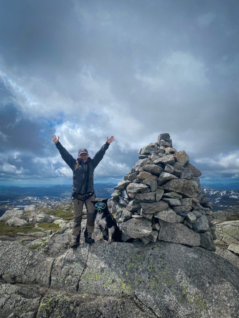
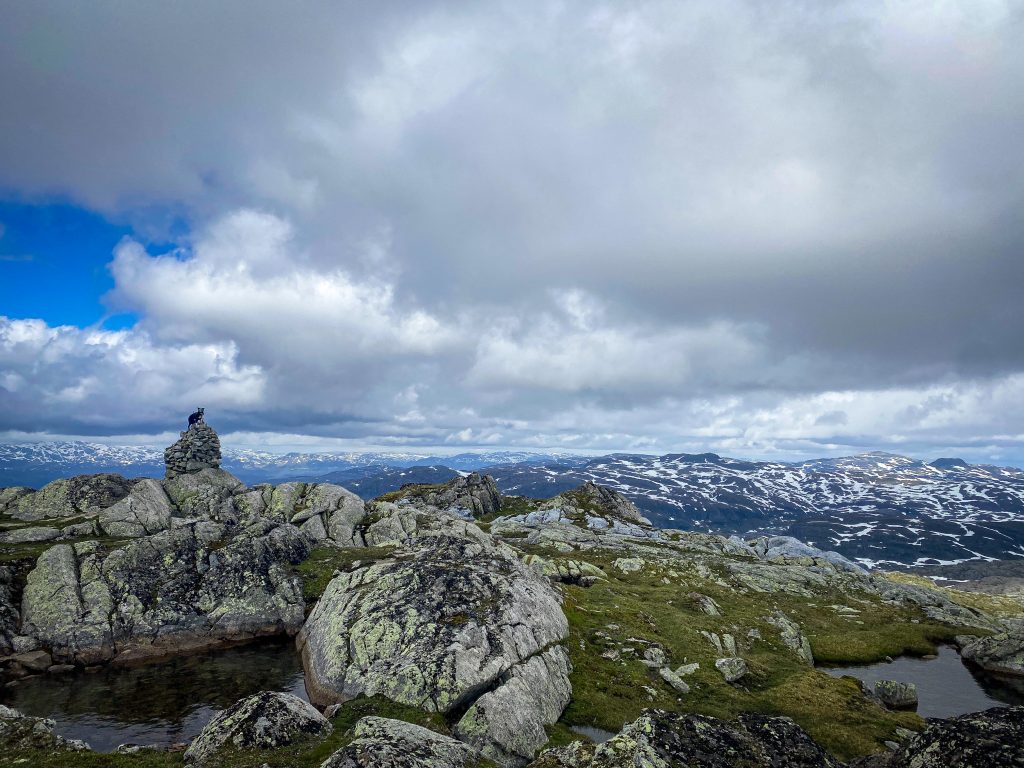
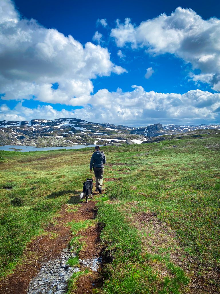
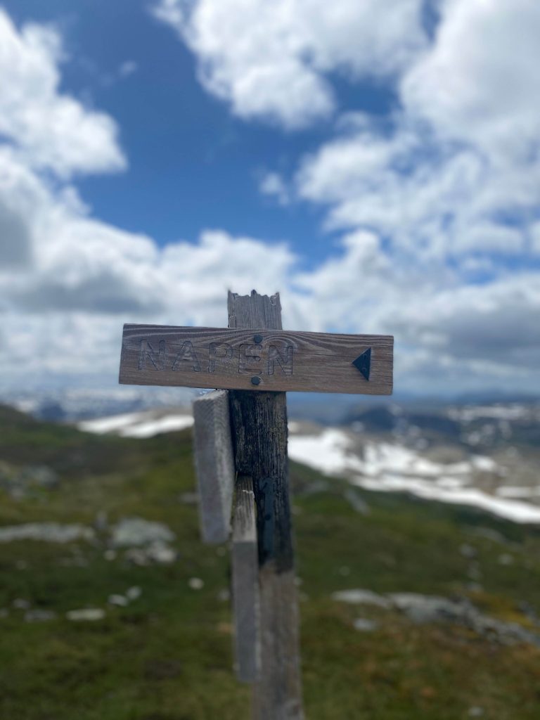
Napen is one of the highest peaks in Rogaland and is located between Sandsa and Stranddalen cabinm 1350 meters above seas level. We parked at Nedre Moen near Moavatnet (GPS: 59.404167, 6.658802). The first part of the hike is not marked but the trail is easy to see and there are small cairns a long it (see map at the bottom).
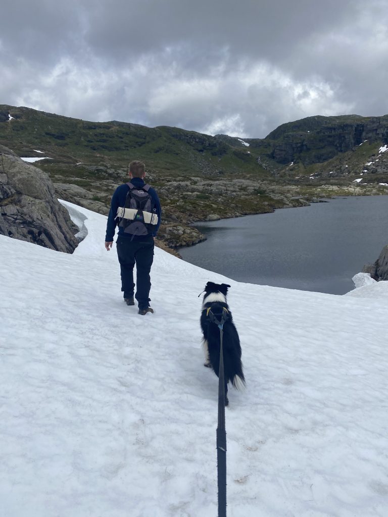
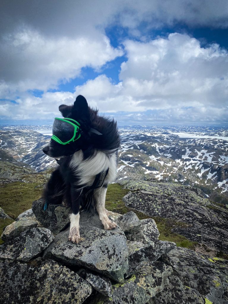
At the time we did this hike (in the beginning of july) there were still some small patches of snow and even with a nice temperature and sun, you should bring a jacket as the wind picks up the higher you get. In addition to the great view on the top, you should look behind you when going up between the two peaks.
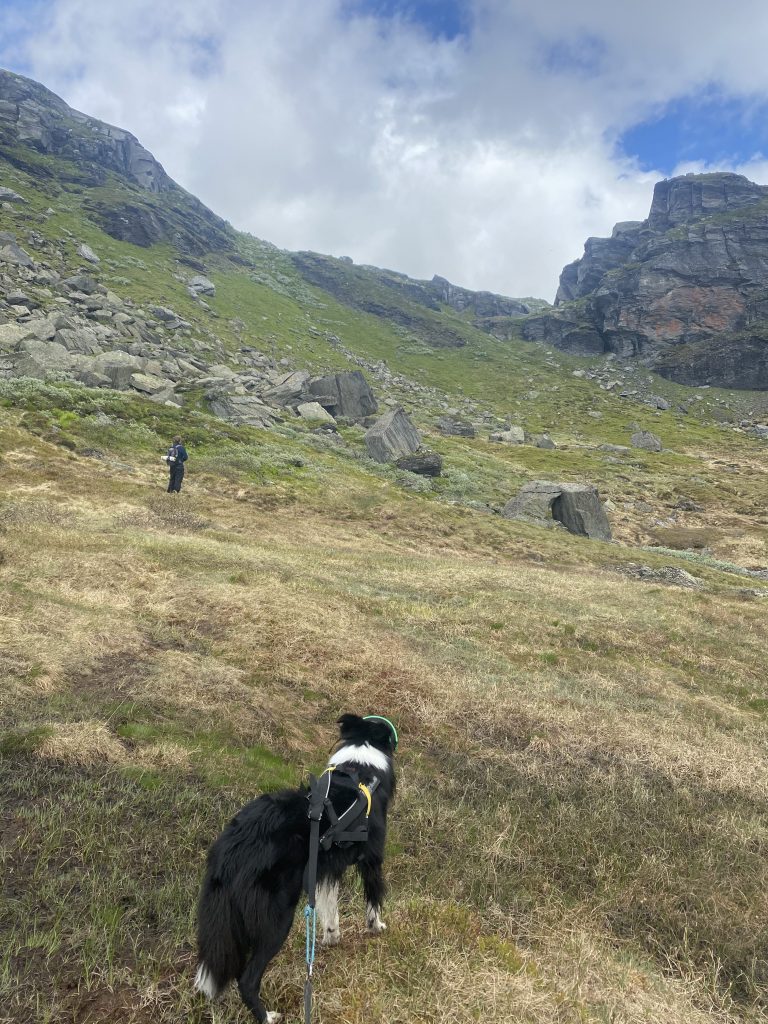
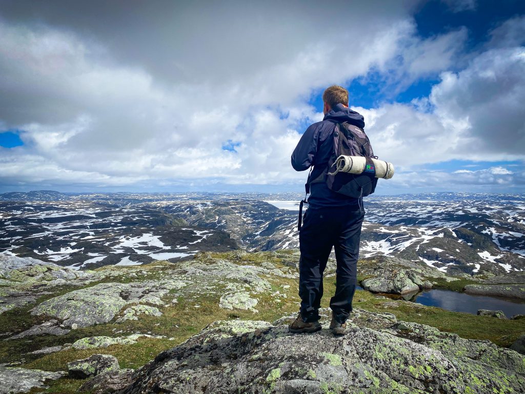
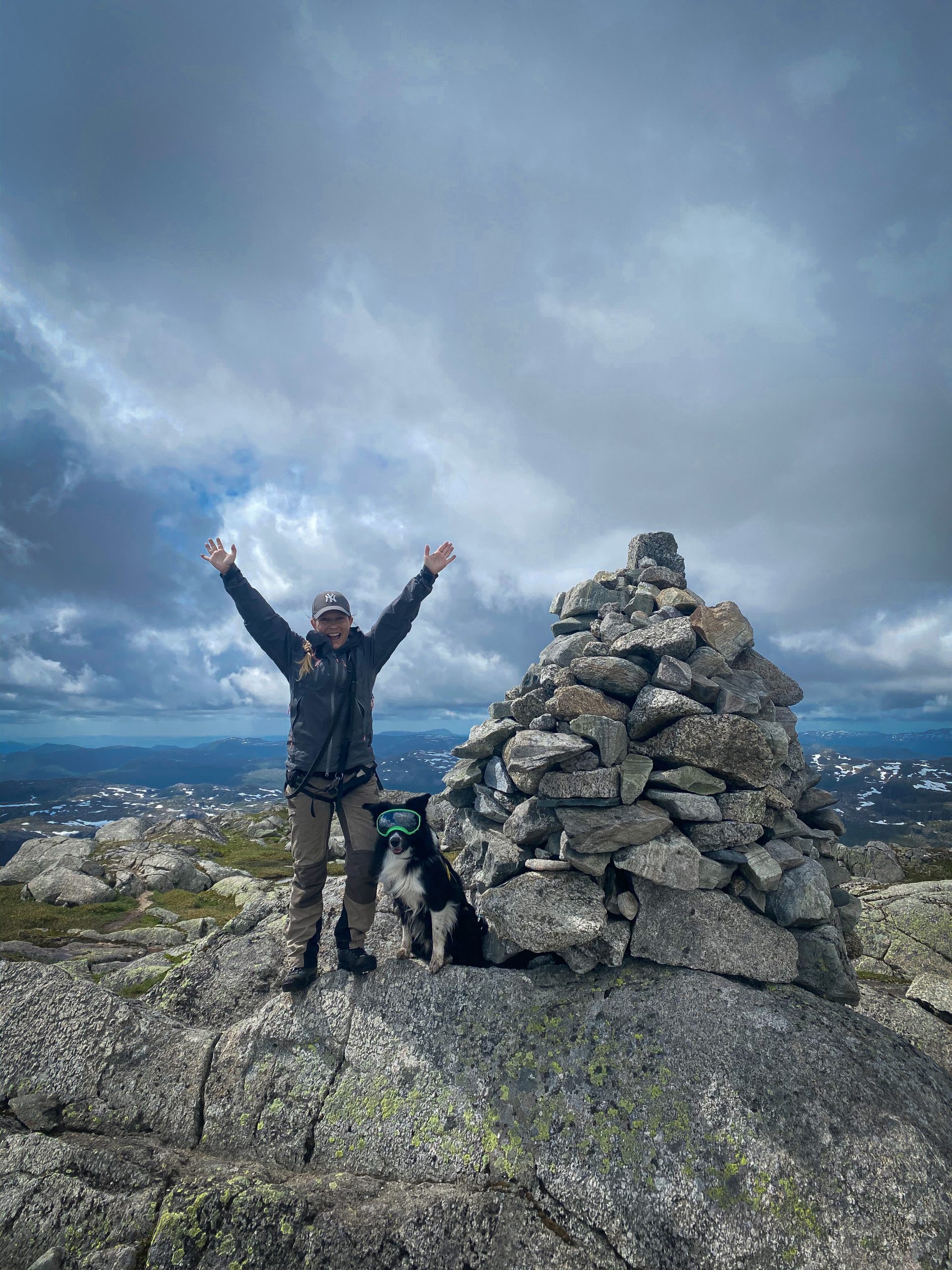
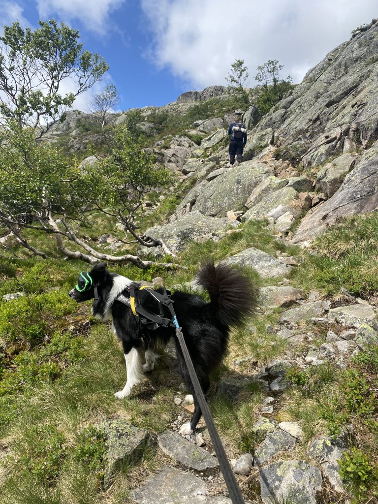
On your way up, for the last climb you can choose between two trails, one going along the edge and one further in. We chose the one along the edge, and I am not a big fan of steep cliffs but this was not a problem for me (I though the hike to Hatten along Lysefjorden was much more scary). At the top, 1350 meters above sea level there is so much to see!