Location: Suldal
Time: 3 hours
Distance: 7 km
Elevation: 760 mas
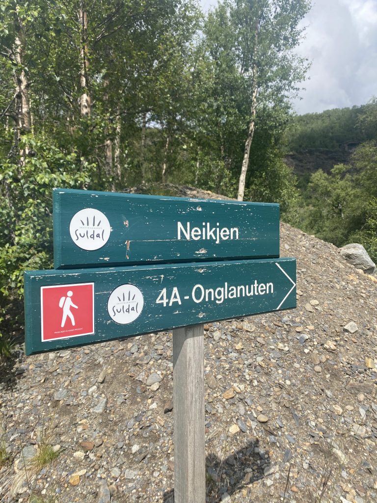
You can take the same route up and back down or you can (as we did) walk one way up and a different one back down. We did the short and steep way up and then continued towards Stavastolen and Smaaliane cabin area. We parked at Neikjen (GPS: 59.431650, 6.442588) but you can also park closer to Gullingen Touristcentre and walk from there.
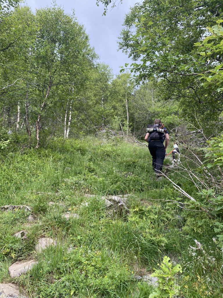
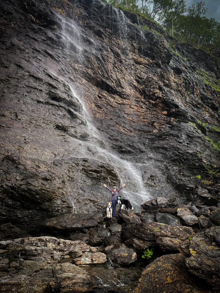
The hike begins on the left hand side of the road when looking towards the mountain called Gullingfjellet. At the beginning of the hike, you will pass by Perskaarswaterfall which is worth a visit.
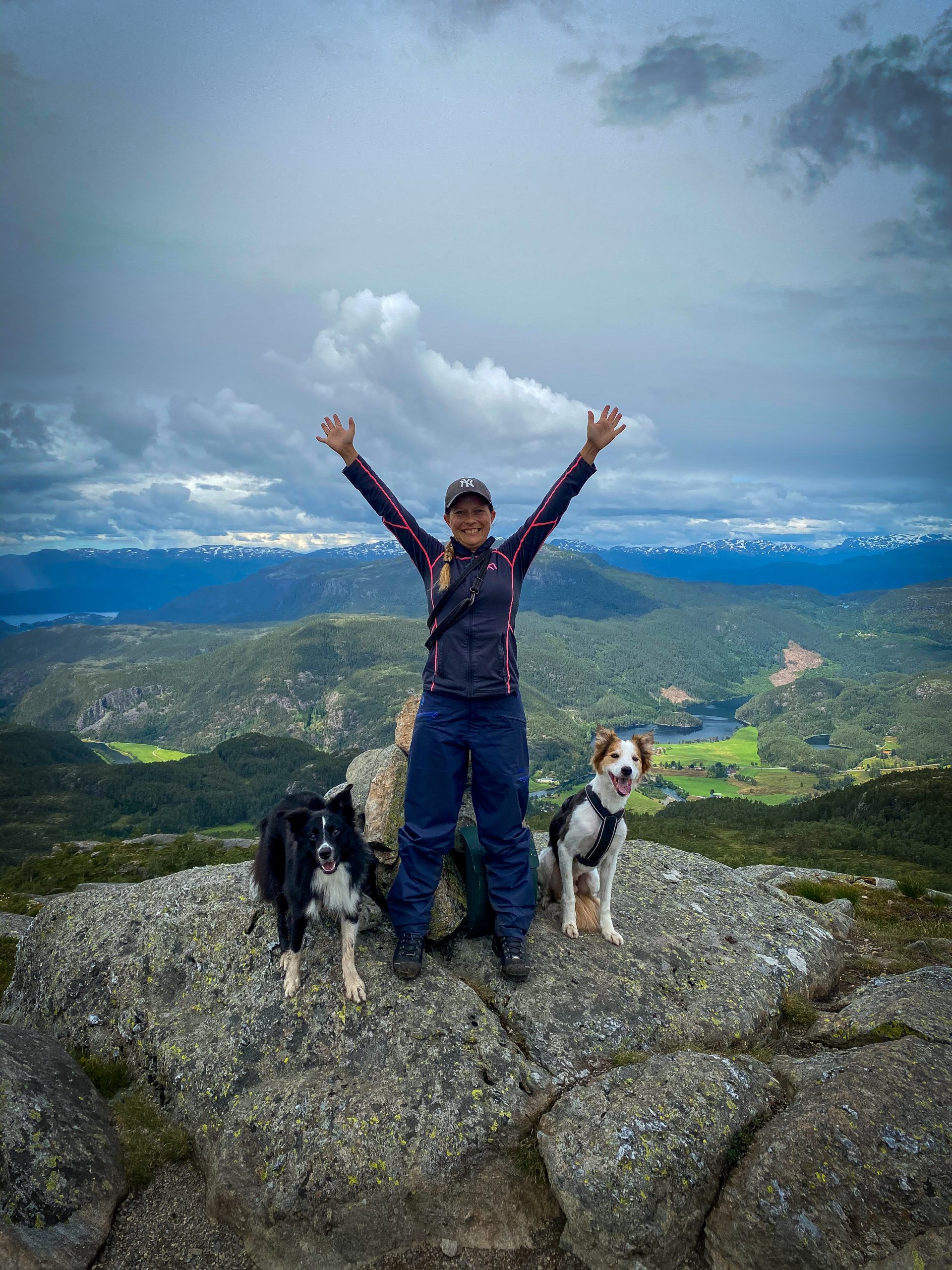
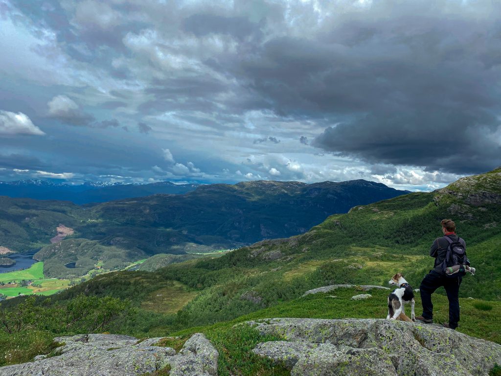
The trail is well marked and you should have no problems following the trail upwards, where an amazing view is waiting!

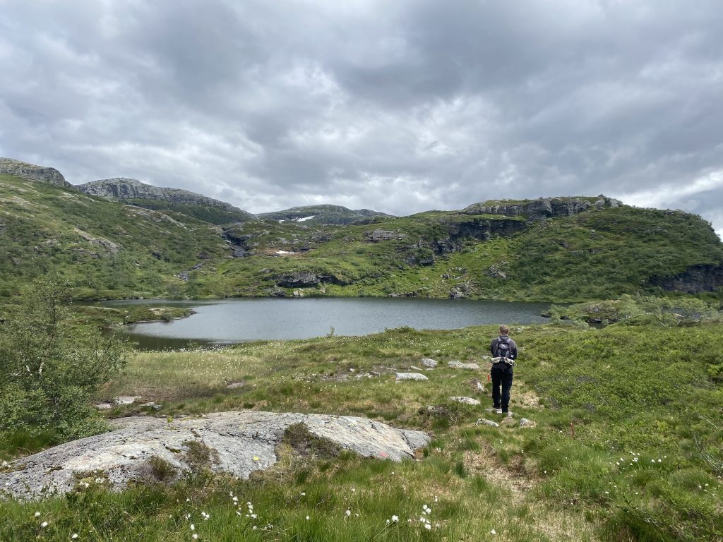
Like I mentioned you can go back down the same way you came, but we decided to do the longer route and follow the trail further down between Onglanutvatnet og Svartavatnet. The hike going down is almost as beautiful as the view on the top. The trail is marked but be aware of taking the wrong one (sheeptrails) going down.